Southern England térkép, autós atlasz AZ kiadó (ISBN: 9780008560560)
Southern England térkép, autós atlasz AZ kiadó (ISBN: 9780008560560)

Ajánlataink Southern England térkép, autós atlasz AZ kiadó (ISBN: 9780008560560) termékre
Ajánlataink a termékre

Vásárlási Garancia
Vásároljon közvetlenül az Árukereső.hu oldalán problémamentesen!
A Vásárlási garancia szolgáltatásunk minden olyan megrendelésre vonatkozik, amelyet közvetlenül az Árukereső.hu oldalán keresztül ad le a Megvásárolom gomb megnyomásával.
Hisszük, hogy nálunk problémamentes a vásárlás, így nem félünk azt garantálni.
-

90 napos termék visszaküldés
-

Árgarancia
-

A pénze biztonságban van
-

Nincs több probléma a megrendelt termékkel
-

Nincsenek megválaszolatlan kérdések

Vásárlás közvetlenül az Árukereső oldalán
A Megvásárolom gomb megnyomásával az adott boltba történő átkattintás nélkül már az Árukereső.hu-n keresztül megrendelheti a kiválasztott terméket, leegyszerűsítve ezzel az online vásárlás folyamatát.
-

Velünk garantáltan problémamentes a vásárlás
-

Kitől is rendel valójában?
-

Milyen fizetési és átvételi módok választhatók?
Paraméterek, termékleírás - Southern England térkép, autós atlasz AZ kiadó (ISBN: 9780008560560)
| Címkék | Térkép |
Hibát talált a leírásban vagy az adatlapon? Jelezze nekünk!
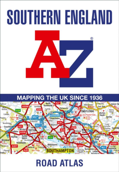
A full-colour regional road atlas featuring 39 pages of continuous road mapping. Covering an extensive area, including Bristol, Swindon, Reading, Slough, Guildford, Littlehampton, Portsmouth, Isle of Wight, Bournemouth, Cardiff, Newport, Weymouth, Sidmouth, Taunton and Weston-Super-Mare. This atlas is shown at a clear 2.5 miles to 1 inch scale (1.58 km to 1 cm) and includes the following features: Motorways open with full junction detail, motorways under construction and proposed, service areas, primary routes and destinations, A & B roads, selected minor roads, gradients 1:5 and steeper, tolls, mileages, county boundaries, spot heights and hill shadingSelected fuel stationsNational Park boundariesSelected places of interest, tourist information centres and golf courses Also included are 15 city, town, airport or port plans for: Bath, Bournemouth, Bristol, Cardiff, Guildford, Portsmouth, Reading, Salisbury, Southampton, Swindon, Taunton, Winchester, Windsor, London Heathrow Airport, and Poole Port.
The expansive index section lists cities, towns, villages, hamlets and locations covered by this atlas.
Oldalainkon a partnereink által szolgáltatott információk és árak tájékoztató jellegűek, melyek esetlegesen tartalmazhatnak téves információkat. A képek csak tájékoztató jellegűek és tartalmazhatnak tartozékokat, amelyek nem szerepelnek az alapcsomagban. A termékinformációk (kép, leírás vagy ár) előzetes értesítés nélkül megváltozhatnak. Az esetleges hibákért, elírásokért az Árukereső nem felel.
