Nagy London atlasz AZ kiadó London várostérkép 2024 (ISBN: 9780008663490)
Nagy London atlasz AZ kiadó London várostérkép 2024 (ISBN: 9780008663490)

Ajánlataink Nagy London atlasz AZ kiadó London várostérkép 2024 (ISBN: 9780008663490) termékre
Ajánlataink a termékre

Vásárlási Garancia
Vásároljon közvetlenül az Árukereső.hu oldalán problémamentesen!
A Vásárlási garancia szolgáltatásunk minden olyan megrendelésre vonatkozik, amelyet közvetlenül az Árukereső.hu oldalán keresztül ad le a Megvásárolom gomb megnyomásával.
Hisszük, hogy nálunk problémamentes a vásárlás, így nem félünk azt garantálni.
-

90 napos termék visszaküldés
-

Árgarancia
-

A pénze biztonságban van
-

Nincs több probléma a megrendelt termékkel
-

Nincsenek megválaszolatlan kérdések
Vásárlás közvetlenül az Árukereső oldalán
A Megvásárolom gomb megnyomásával az adott boltba történő átkattintás nélkül már az Árukereső.hu-n keresztül megrendelheti a kiválasztott terméket, leegyszerűsítve ezzel az online vásárlás folyamatát.
-

Velünk garantáltan problémamentes a vásárlás
-

Kitől is rendel valójában?
-

Milyen fizetési és átvételi módok választhatók?
Paraméterek, termékleírás - Nagy London atlasz AZ kiadó London várostérkép 2024 (ISBN: 9780008663490)
| Címkék | Térkép |
Hibát talált a leírásban vagy az adatlapon? Jelezze nekünk!
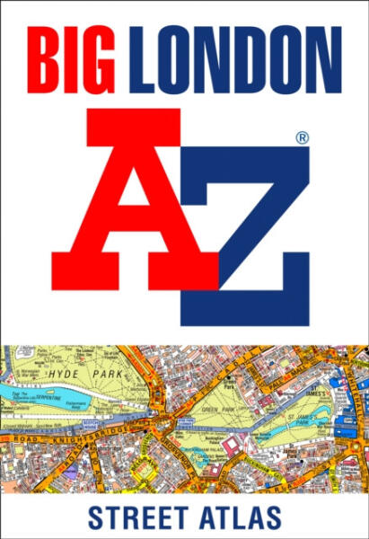
The large-scale street map of Central London – at a scale of 5.75 inches to 1 mile – cover Regent’s Park and Shoreditch, Chelsea and Vauxhall, Hyde Park and Bermondsey. A comprehensive index lists streets, selected flats, walkways and places of interest, place, area and junction names. Additional healthcare (hospitals, walk-in centres and hospices) and transport connections (National Rail, London Tramlink, Docklands Light Railway, London Underground and Overground stations, and River Bus pier) are indexed as well.
Also included are: Overview map of the Congestion Charging Zone, Ultra Low Emission and Low Emission ZonesWest End Theatre mapLondon Connections rail services map
Oldalainkon a partnereink által szolgáltatott információk és árak tájékoztató jellegűek, melyek esetlegesen tartalmazhatnak téves információkat. A képek csak tájékoztató jellegűek és tartalmazhatnak tartozékokat, amelyek nem szerepelnek az alapcsomagban. A termékinformációk (kép, leírás vagy ár) előzetes értesítés nélkül megváltozhatnak. Az esetleges hibákért, elírásokért az Árukereső nem felel.
