Imray Chart G3 : Aegean Sea (ISBN: 9781846236389)
Imray Chart G3 : Aegean Sea (ISBN: 9781846236389)
15 990 Ft-tól
2 ajánlat

Ajánlataink Imray Chart G3 : Aegean Sea (ISBN: 9781846236389) termékre
Ajánlataink a termékre

Paraméterek, termékleírás - Imray Chart G3 : Aegean Sea (ISBN: 9781846236389)
Termékleírás
| Címkék | Térkép |
Hibát talált a leírásban vagy az adatlapon? Jelezze nekünk!
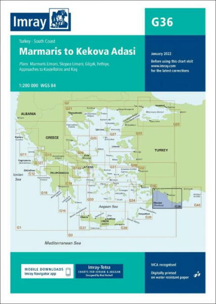
Imray hajózási térkép. Plans included:Marmaris Limani (1:50 000)Skopea Limani (1:100 000)Goecek (1:25 000)Fethiye (1:35 000)Approaches to Kastellorizo and Kas (1:75 000)Imray-Tetra charts for the Ionian and Aegean are widely acknowledged as the best available for the cruising sailor. They combine the latest official survey data with first-hand information gathered by Rod and Lucinda Heikell. The chart is designed to be used alongside Imray pilot guides of the area. Like all Imray charts, they are printed on water resistant Pretex paper for durability, and they include many anchorages, facilities and inlets not included on official charts. This edition includes the latest official data combined with additional information sourced from Imray's network to make it ideal for small craft. The latest harbour developments at Goecek are included as is latest official bathymetric survey data. There has been general updating throughout.
Oldalainkon a partnereink által szolgáltatott információk és árak tájékoztató jellegűek, melyek esetlegesen tartalmazhatnak téves információkat. A képek csak tájékoztató jellegűek és tartalmazhatnak tartozékokat, amelyek nem szerepelnek az alapcsomagban. A termékinformációk (kép, leírás vagy ár) előzetes értesítés nélkül megváltozhatnak. Az esetleges hibákért, elírásokért az Árukereső nem felel.
